Year
2026
Summary

This project addresses the gap between national and local forest data by integrating Spanish National Forest Inventories, forest maps, and municipal boundaries into interactive dashboards. Using Palencia as a case study, it tracks long-term evolution of pine and oak forests, supporting local decision-making through accessible visualization of forest stocks, carbon storage, and ecosystem services.
Year
2026
Summary

This study evaluated multispectral and hyperspectral vegetation indices to estimate wildfire severity in the 2022 Sierra de la Culebra fire. Field Composite Burn Index data were correlated with satellite-derived indices. Results showed hyperspectral imagery provided more accurate severity estimates, particularly using Cellulose Absorption Index and Red Edge indices.

Year
2026
Summary

This study mapped land use changes in the Grombalia Region of Tunisia using Sentinel-2 imagery and machine learning. Three classifiers—Random Forest, SVM, and CNN—were compared. Random Forest achieved the highest accuracy. Results highlight agricultural changes over time and demonstrate the effectiveness of remote sensing for environmental monitoring.

Year
2025
Summary

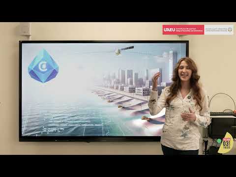
My research uses high-resolution maps and video-game simulation software to model future flooding in Abu Dhabi under projected sea-level rise. The immersive tool helps identify risks, guide infrastructure adaptation, protect sensitive areas, and support long-term planning. By visualizing future scenarios, the project empowers communities and policymakers to take proactive climate action.