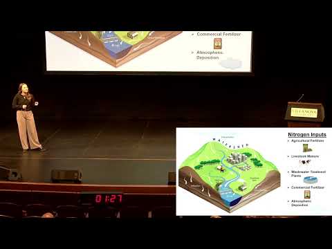
This study mapped land use changes in the Grombalia Region of Tunisia using Sentinel-2 imagery and machine learning. Three classifiers—Random Forest, SVM, and CNN—were compared. Random Forest achieved the highest accuracy. Results highlight agricultural changes over time and demonstrate the effectiveness of remote sensing for environmental monitoring.

The Mississippi River relies on dams for commercial navigation, but these structures block fish migration and damage ecosystems and local fishing economies. This research uses hydrodynamic modelling to test fish-passage designs, such as bypass channels, showing how they can reconnect habitats, support biodiversity, and allow economic and ecological goals to coexist.