
This research improves aging satellite imagery using ground-based mirror arrays that reflect sunlight to diagnose and correct image blur. By giving satellites precise calibration targets, the method sharpens observations, enabling faster disaster response, improved climate monitoring, and more accurate data for governments and scientists worldwide.
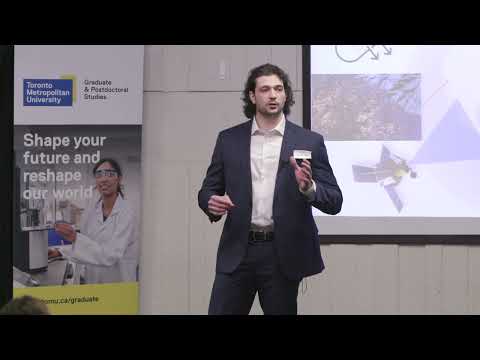
This research develops an AI-powered, multi-sensor drone system to detect butterfly landmines more safely and efficiently. By fusing sensor data into confidence-scored maps, it accelerates demining, reduces risk to operators, and supports civilian safety, land reuse, and humanitarian recovery in post-conflict regions.

2025
My research develops navigable high-altitude stratospheric balloons that combine satellite-level coverage with drone-level detail at low cost. Using machine-learning trajectory models and altitude-based steering, fleets can monitor wildfires, deforestation, and environmental change in real time. This technology enables scalable, sustainable remote sensing for global environmental protection.
The speaker explains how hyperspectral satellites can detect invisible methane emissions, a major driver of climate change. Their research integrates data from multiple satellites to create a continuous global monitoring system capable of identifying leaks in real time, enabling rapid mitigation and transforming satellite technology into a tool for planetary sustainability.
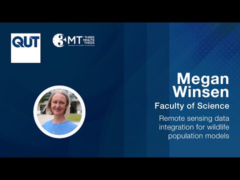
Australia’s wildlife is hard to count due to difficult terrain and vast landscapes. This research uses remote sensing—camera traps, audio recorders, drones, and satellites—combined with AI and mathematical models to understand animal presence, habitat choices, and detectability. The goal is faster, more accurate population monitoring to guide conservation.

Bur Oak Blight threatens Iowa’s most iconic tree. Current detection is slow and often too late. This research uses leaf-level reflectance and satellite imagery to identify early, invisible signs of infection across millions of trees. The approach enables rapid mapping of blight severity and helps protect Iowa’s ecological and cultural heritage.
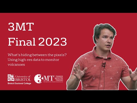
2023
This research uses high-resolution satellite imagery to detect ground deformation at volcanoes, a key warning sign of impending eruptions. Low-resolution data often hides these signals, but fine-scale images reveal them clearly. Expanding high-resolution monitoring worldwide could allow earlier warnings, saving lives and reducing volcanic risk for millions.